Redistricting Information - District Maps
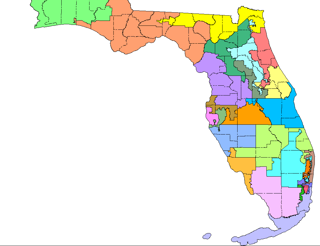
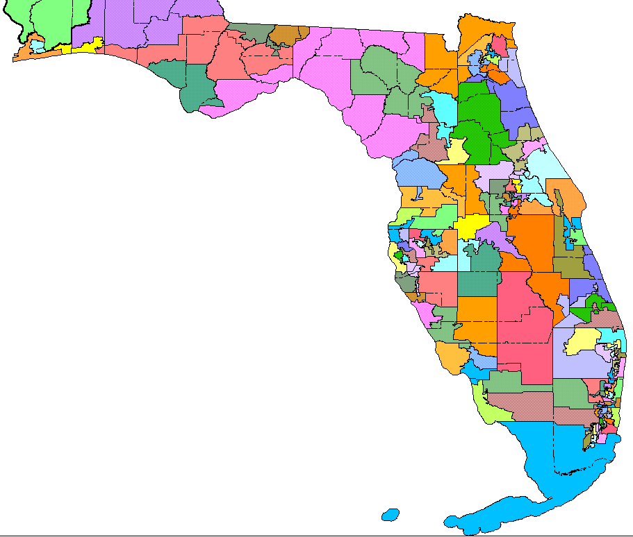
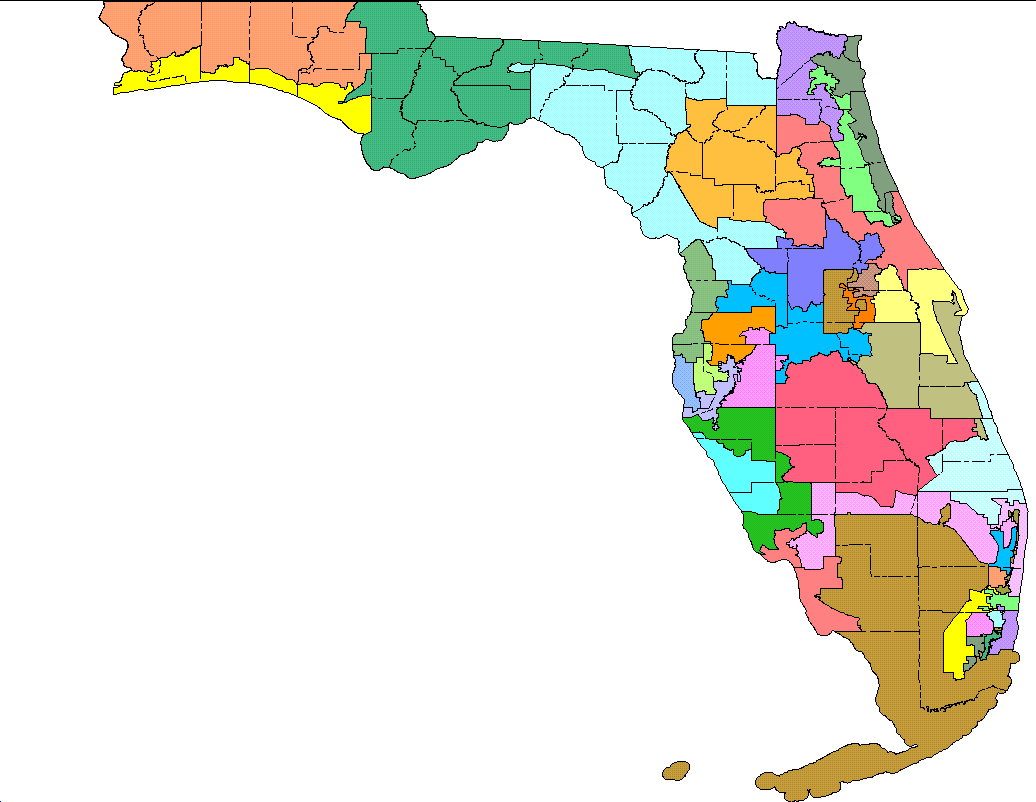
By court order, the 2012 Senate and Congressional plans have been changed and renumbered. Below are 8.5" x 11" district maps that reflect the new changes.
Select a District below for maps and other information*:
US |
Florida House Districts (2012 plan) |
Florida Senate Districts (2016 plan) |
|---|---|---|
 |
 |
 |
*NOTE: Maps may be slow to load due to file sizes.
Florida Redistricting Websites
The Florida Senate Redistricting website has links to adopted plans, proposed plans, redistricting data, maps, census statistics, district by county statistics, and other redistricting-related sites.
Elections Data
The Florida Department of State's Candidate Tracking System tracks candidates throughout the elections process presenting candidate status, campaign finance activity, personal photos and contact information.
This information is updated regularly as candidates file and update their information and can be found at: http://election.dos.state.fl.us/candidate/index.asp.
![]() indicates the link will open in new window.
indicates the link will open in new window.
Last Revised: December 5, 2016


