Skip to Navigation | Skip to Menu | Skip to Main Content

Office of Economic & Demographic Research
The Florida Legislature

  • calculator
  • aerial of Florida Keys
  • Florida Bridge to the Keys
  • pie chart
  • buildings in downtown Miami
  • Wakulla Correctional Institution
  • seaoats at dusk
  • vertical bar chart showing incline
  • foremen reviewing blueprints
  • lady teaching class
  • coin stacked in ascending order
  • Shuttle launch
  • calculator
  • aerial of Florida Keys
  • Florida Bridge to the Keys
  • pie chart
  • buildings in downtown Miami
Subscribe to this page(?)

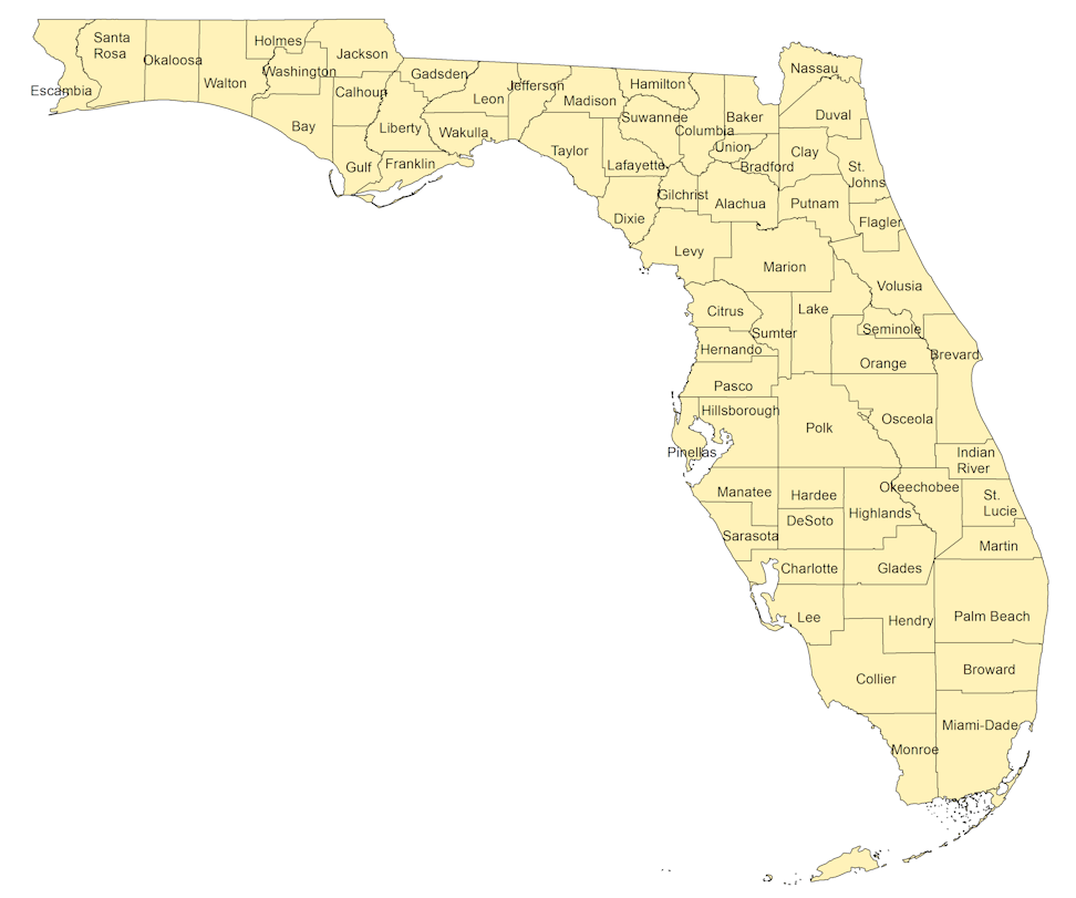
2010 Census County Profiles

Select a county on the map or in the listing to view that 2010 county's census profile (2 - page profile).

state of florida county map


Additional Information

Monroe County Escambia County Santa Rosa County Okaloosa County Walton County Holmes County Washington County Washington County Bay County Jackson County Calhoun County Gulf County Liberty County Gadsden County Leon County Wakulla County Jefferson County Taylor County Lafayette County Lafayette County Madison County Suwannee County Baker County Union County Dixie County Gilchrist County Levy County Citrus County Nassau County Duval County Clay County Alachua County St. Johns County Flagler County Putnam County Marion County Sumter County Volusia County Lake County Orange County Seminole County Seminole County Brevard County Hernando County Pasco County Pinellas County Polk County Hillsborough County Manatee County Sarasota County Charlotte County Osceola County Brevard County St. Lucie County Martin County Palm Beach County Okeechobee County Highlands County Hardee County DeSoto County Glades County Lee County Hendry County Collier County Broward County Miami-Dade County Monroe County Indian River County Hillsborough County Manatee County Bay County Franklin County Jefferson County Hamilton County Columbia County Bradford County

Last Revised: September 16, 2016